60 SOUTH AFRICAN CITIES & TOWNS · PAGE 1 OF 5

Explore South Africa

Compare 60 South African cities and towns by straight-line distance to their closest commercial passenger airports.

Showing 12 of 60 destinations (Page 1 of 5)
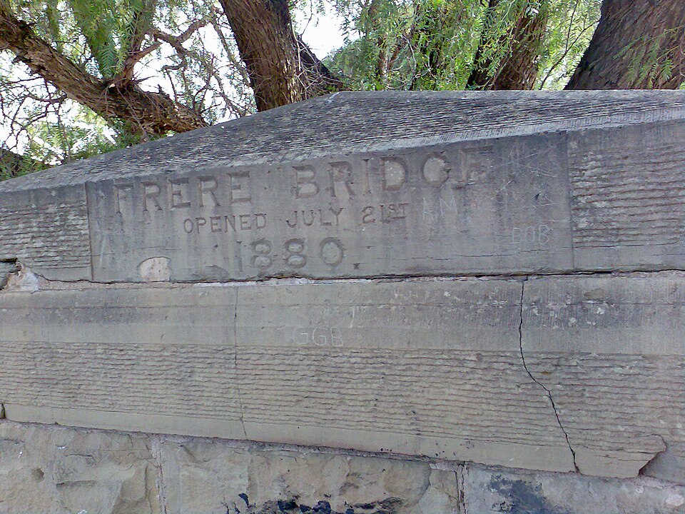
Historic bridge and Orange River crossing at Aliwal North in the northern Eastern CapeEastern Cape
Eastern Cape

Aliwal North

Aliwal North sits on the southern bank of the Orange River in the northern Eastern Cape along the N6 corridor. The closest airport in our passenger selection is Bram Fischer International Airport (BFN) at 182 km by straight line.

BFN
CLOSEST PASSENGER AIRPORT
Bram Fischer International Airport
182 km
Compare airports near Aliwal North →
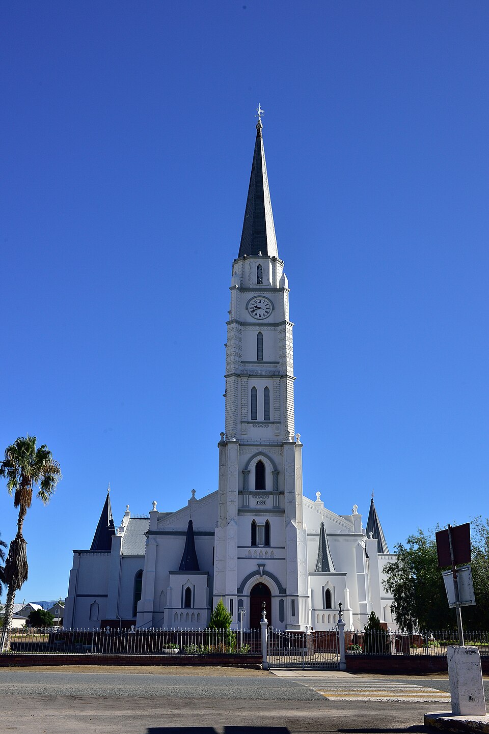
Dutch Reformed Mother Church spire and townscape in Cradock in the Great Fish River valley, Eastern CapeEastern Cape
Eastern Cape

Cradock

Cradock sits in the Great Fish River valley of the Eastern Cape Karoo near Mountain Zebra National Park. Closest passenger airports in our list: Chief Dawid Stuurman International Airport in Gqeberha (PLZ, 203 km) and King Phalo Airport in East London (ELS, 228 km).

PLZ
CLOSEST PASSENGER AIRPORT
Chief Dawid Stuurman International Airport
203 km
Compare airports near Cradock →
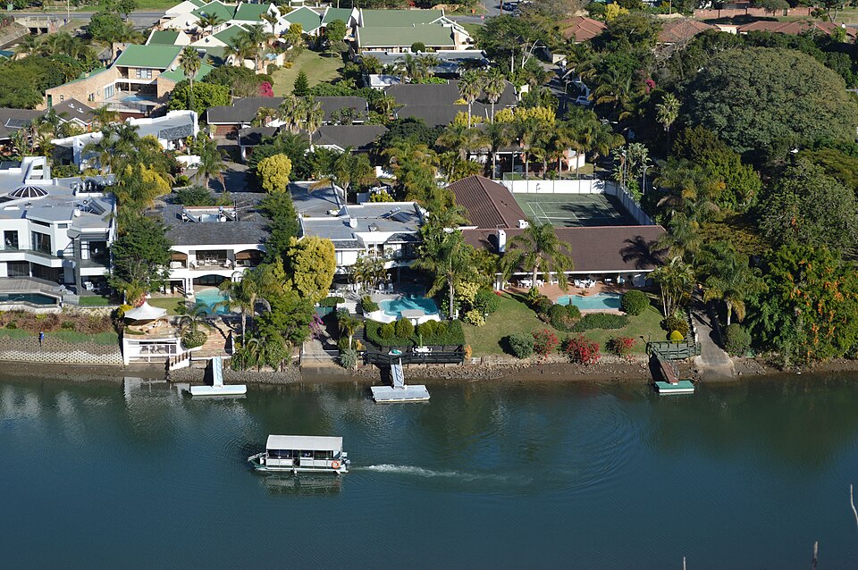
Waterside view along the Nahoon River in East London, Eastern CapeEastern Cape
Eastern Cape

East London

East London sits at the mouth of the Buffalo River on the Eastern Cape’s Indian Ocean coast. The closest airport in our passenger selection is King Phalo Airport (ELS) at 8 km by straight line.

ELS
CLOSEST PASSENGER AIRPORT
King Phalo Airport
8 km
Compare airports near East London →
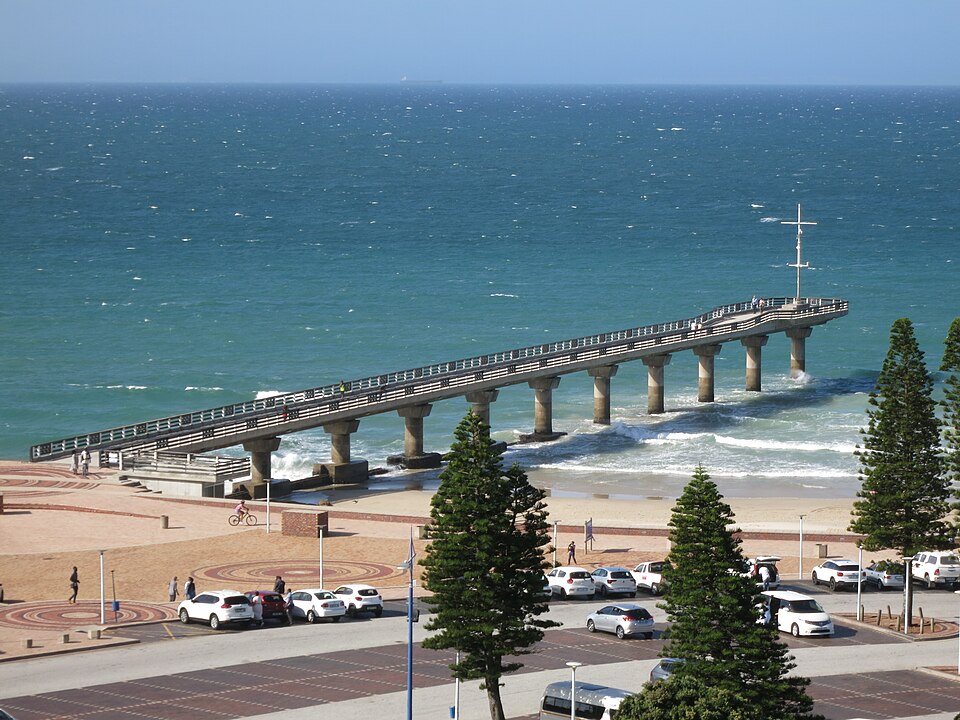
Shark Rock Pier at Hobie Beach on the Algoa Bay beachfront in Gqeberha (Port Elizabeth), Eastern CapeEastern Cape
Eastern Cape

Gqeberha

Gqeberha sits on the western shore of Algoa Bay within Nelson Mandela Bay in the Eastern Cape. The closest airport in our passenger selection is Chief Dawid Stuurman International Airport (PLZ) at 3 km by straight line.

PLZ
CLOSEST PASSENGER AIRPORT
Chief Dawid Stuurman International Airport
3 km
Compare airports near Gqeberha →
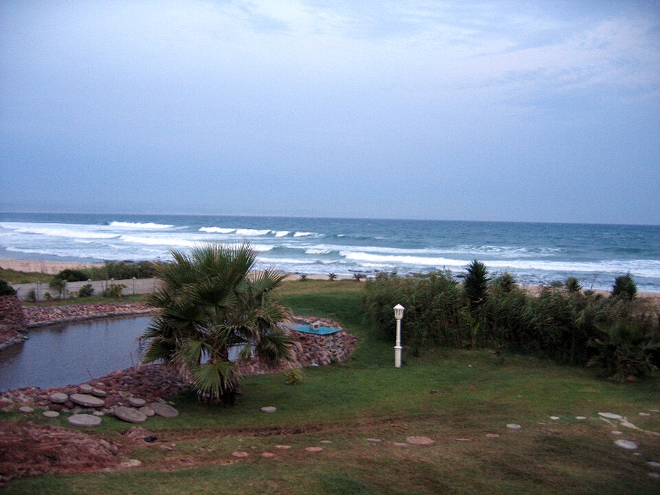
Indian Ocean surf and sandy shoreline at Jeffreys Bay in the Eastern CapeEastern Cape
Eastern Cape

Jeffreys Bay

Jeffreys Bay sits on the Kouga coastline west of Algoa Bay along the N2 route in the Eastern Cape. The closest airport in our passenger selection is Chief Dawid Stuurman International Airport (PLZ) at 64 km by straight line.

PLZ
CLOSEST PASSENGER AIRPORT
Chief Dawid Stuurman International Airport
64 km
Compare airports near Jeffreys Bay →
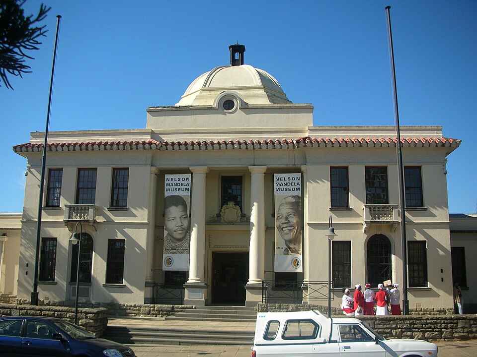
Bunga Building of the Nelson Mandela Museum in Mthatha, Eastern CapeEastern Cape
Eastern Cape

Mthatha

Mthatha sits along the Mthatha River on the N2 plateau of the eastern Eastern Cape. The closest airport in our passenger selection is K. D. Matanzima Airport (UTT) at 12 km by straight line.

UTT
CLOSEST PASSENGER AIRPORT
K. D. Matanzima Airport
12 km
Compare airports near Mthatha →
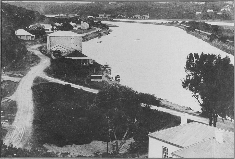
Historic Cock's Mill and Kowie River bank at Port Alfred on the Sunshine Coast, Eastern CapeEastern Cape
Eastern Cape

Port Alfred

Port Alfred sits at the Kowie River mouth on the Sunshine Coast midway between East London and Gqeberha. Closest passenger airports in our list: King Phalo Airport (ELS, 107 km) and Chief Dawid Stuurman International Airport (PLZ, 125 km).

ELS
CLOSEST PASSENGER AIRPORT
King Phalo Airport
107 km
Compare airports near Port Alfred →
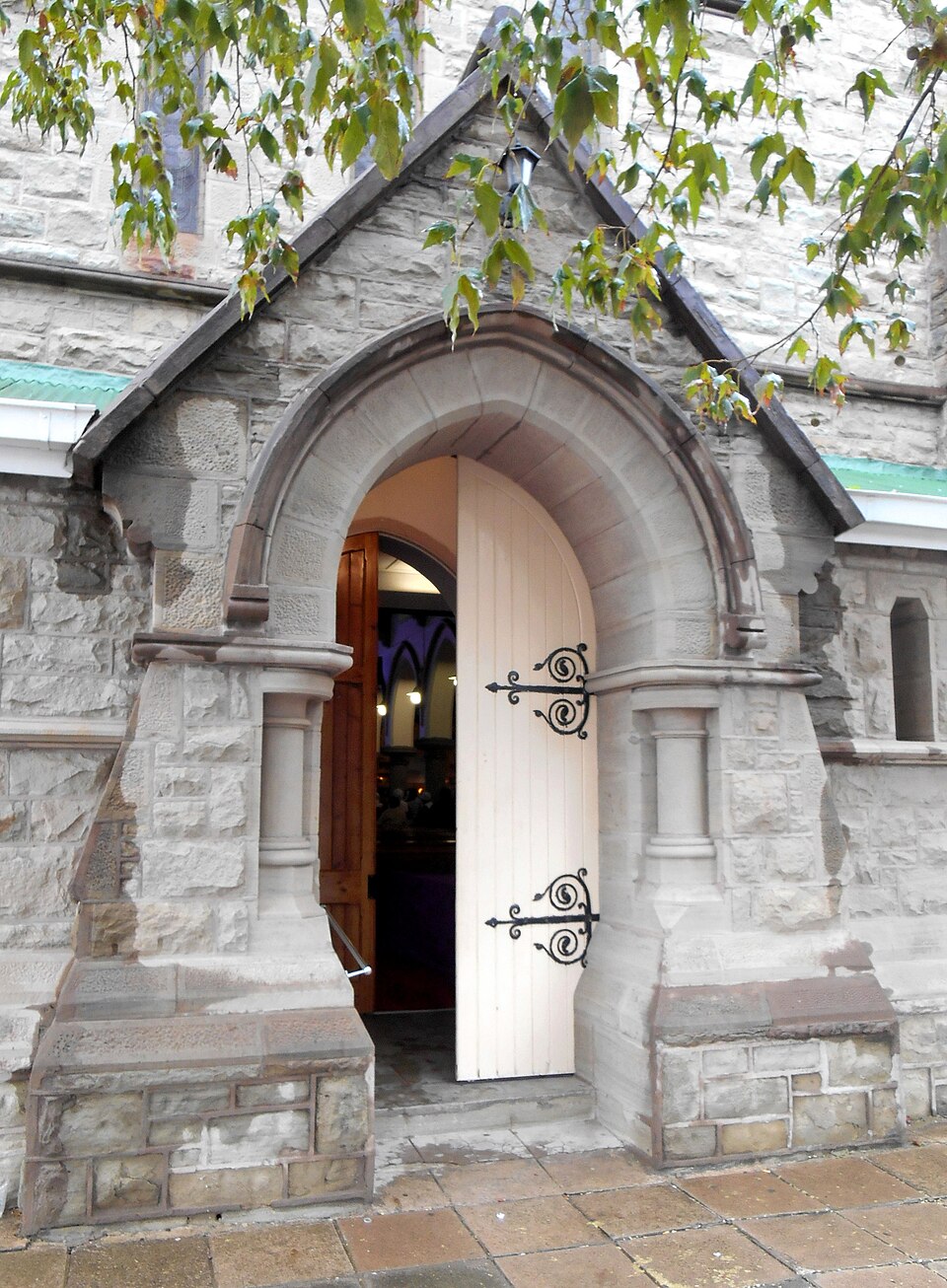
Stone facade of Wesley Methodist Church in Queenstown (Komani), Eastern CapeEastern Cape
Eastern Cape

Queenstown

Queenstown sits in the Chris Hani inland highlands of the Eastern Cape at the junction of the N6 and R61. Closest passenger airports in our list: King Phalo Airport (ELS, 155 km) and K. D. Matanzima Airport (UTT, 174 km).

ELS
CLOSEST PASSENGER AIRPORT
King Phalo Airport
155 km
Compare airports near Queenstown →
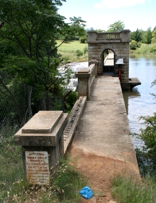
Dam wall and reservoir shoreline at Bethlehem in the eastern Free StateFree State
Free State

Bethlehem

Bethlehem sits in the eastern Free State highlands along the N5 corridor north of Golden Gate Highlands National Park. Closest passenger airports in our list: Bram Fischer International Airport (BFN, 218 km) and O.R. Tambo International Airport (JNB, 233 km).

BFN
CLOSEST PASSENGER AIRPORT
Bram Fischer International Airport
218 km
Compare airports near Bethlehem →
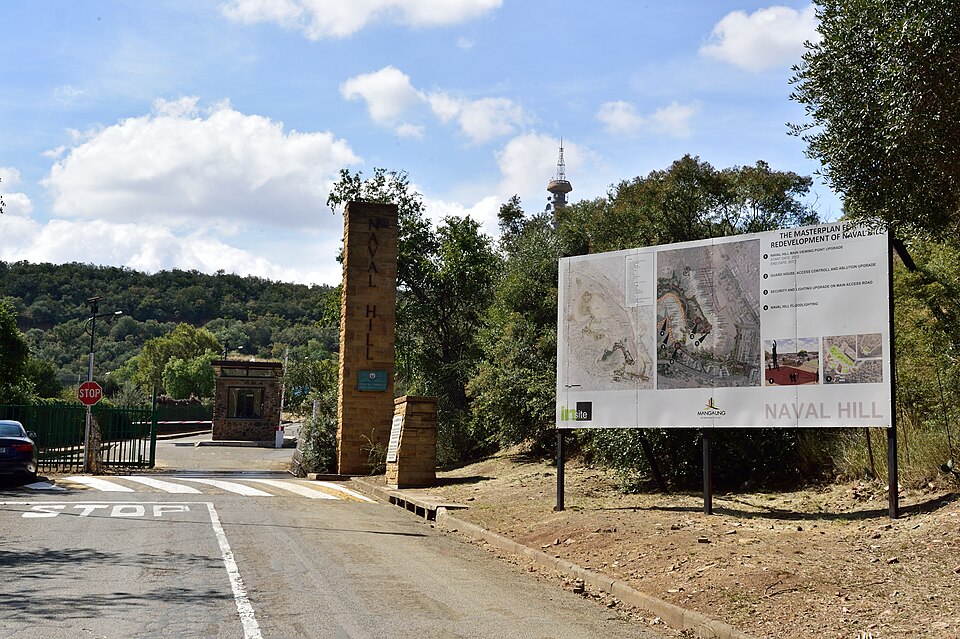
Panoramic view from Naval Hill overlooking Bloemfontein in the Free StateFree State
Free State

Bloemfontein

Bloemfontein sits on the central Free State plains at the junction of the N1, N6, and N8 national routes. The closest airport in our passenger selection is Bram Fischer International Airport (BFN) at 9 km by straight line.

BFN
CLOSEST PASSENGER AIRPORT
Bram Fischer International Airport
9 km
Compare airports near Bloemfontein →
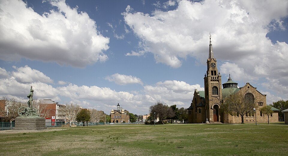
Dutch Reformed Mother Church on Church Square in Kroonstad, Free StateFree State
Free State

Kroonstad

Kroonstad sits on the Vals River along the N1 highway in the northern Free State midway between Johannesburg and Bloemfontein. Closest passenger airports in our list: Bram Fischer International Airport (BFN, 185 km) and O.R. Tambo International Airport (JNB, 196 km).

BFN
CLOSEST PASSENGER AIRPORT
Bram Fischer International Airport
185 km
Compare airports near Kroonstad →
Tree-lined boulevard and traffic circle in Welkom in the Free State GoldfieldsFree State
Free State

Welkom

Welkom sits in the Free State goldfields district west of the N1 corridor. The closest airport in our passenger selection is Bram Fischer International Airport (BFN) at 131 km by straight line.

BFN
CLOSEST PASSENGER AIRPORT
Bram Fischer International Airport
131 km
Compare airports near Welkom →

Choose the destination you will visit

Find a city or town by name, then open its airport comparison. The destination list is grouped by province, so places in the same region can be scanned together. The airport code and distance beside each place describe the closest location in the selected passenger-airport comparison, not a guarantee that it is the nearest passenger airport in the country.

A city name changes the distance

Cape Town, Stellenbosch and Hermanus use separate reference coordinates. A distance to Cape Town should not be reused for a stay in another town. The same applies to George and Knysna: begin with the place you will actually visit rather than the city named by the airport.

Read the airport comparison correctly

Each city page compares airports from the same city reference point. It keeps airport codes visible, sorts the displayed options by distance and lists relevant additional airport records separately when flights still need confirmation. If the first result is far away, investigate those additional records before arranging travel. Cities near a national border may also need options outside South Africa; those are not included in the current comparison.

Use your address for the onward journey

Straight-line distance describes geographic separation. It is not road distance, a driving-time estimate or the price of a transfer. Check the road route from the chosen airport to your final address and confirm the flight for your date. If you already know your arrival airport, the airport directory provides the reverse view: one airport and its distances to selected destinations.

Aerial coastline and destination view in South Africa