#1 CLOSEST OPTIONGRJ
George Airport
Serves George · Western Cape · ICAO FAGG
Straight-line distance
62 km
(61.7 km exact)
Passenger flights · check dates
Set around a sheltered estuary between wooded hills and the Indian Ocean, Knysna is one of the best-known stops on the Western Cape’s Garden Route. It does not have its own passenger airport, so most journeys by air begin in George, Gqeberha or Cape Town.
 Western Cape
Ordered by unrounded Haversine distance from the Knysna reference coordinate (-34.0363° S, 23.0471° E) and displayed to the nearest integer kilometer.
Serves George · Western Cape · ICAO FAGG
Serves Gqeberha (Port Elizabeth) · Eastern Cape · ICAO FAPE
Serves Cape Town · Western Cape · ICAO FACT
For a trip centred on Knysna, George Airport (GRJ) is the closest airport in our passenger selection at 62 km west in a straight line. The onward drive follows the N2 coastal corridor past Wilderness and Sedgefield, making George the most direct air gateway for stays around the lagoon.
Chief Dawid Stuurman International Airport (PLZ) in Gqeberha sits 237 km east and is worth comparing when your itinerary also covers Plettenberg Bay, Tsitsikamma, or Jeffreys Bay.
Cape Town International Airport (CPT) is 410 km west. While too far to be a quick transfer for Knysna alone, it is commonly used when a longer road trip starts in Cape Town, the Winelands, or the Overberg and continues along the N2.
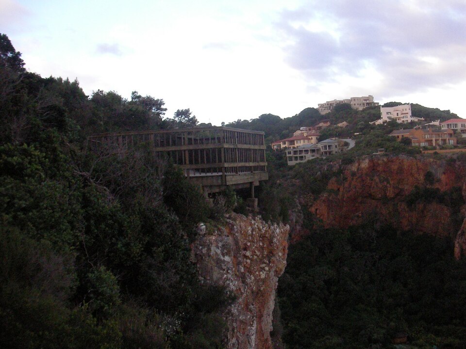
Knysna wraps around a wide tidal lagoon that meets the sea between two sandstone cliffs known as the Knysna Heads. The town centre, the Waterfront, Thesen Island, and Leisure Isle sit close to the water, while viewpoints on the Eastern Head and beaches at Brenton-on-Sea and Buffalo Bay look out toward the Indian Ocean.
Because neighborhoods around the estuary and coastal headlands are spread out on either side of the N2, allow extra road time if your accommodation is out at the Heads, Brenton, or on a hillside estate.
Inland from the lagoon, indigenous Afrotemperate forests and mountain passes form part of the Garden Route National Park stretching toward Rheenendal, Diepwalle, and neighboring George and Plettenberg Bay.
Two local general aviation airfields—Mossel Bay Airport (MZY) at 92 km and Oudtshoorn Airport (OUH) at 93 km—also sit in the wider region, but neither has regular passenger flights listed.
Choosing a base around Knysna shapes your airport transfer time and whether you need a rental car for your stay.
Town centre, the Waterfront and Thesen Island keep cafés, lagoon boats and everyday stops close together.
The Heads, Leisure Isle, Brenton-on-Sea and forested hills outside town suit slower stays, especially if you have a car.
Check how easily your base reaches the N2 if you plan to visit Plettenberg Bay, Wilderness or George on the same trip.
These airfields are geographically close to Knysna, but are excluded from default commercial passenger comparisons because they either list no regular scheduled flights or require direct operator verification.
Distances on this page use one GeoNames reference point for Knysna, rather than a wider municipal boundary or your accommodation address.
Compare straight-line airport access for other South African towns and cities in our dataset.
Dataset snapshot: 2026-11-06 · GeoNames record modified: 2026-11-06 · Editorial review: 2026-11-06
Photo credit: Wikimedia Commons (CC BY-SA 3.0) — Source file ↗