#1 CLOSEST OPTIONELS
King Phalo Airport
Serves East London · Eastern Cape · ICAO FAEL
Straight-line distance
8 km
(8.3 km exact)
Passenger flights · check dates
Set at the mouth of the Buffalo River on the Eastern Cape’s Indian Ocean coast, East London is served directly by King Phalo Airport (ELS) just 8 km from the town reference point. The second and third passenger airports in the table sit in neighbouring districts across the region.
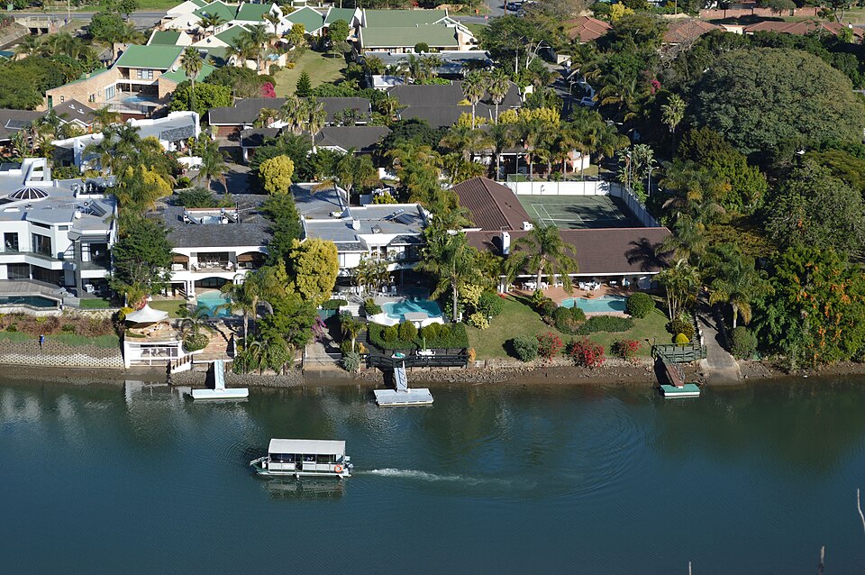 Eastern Cape
Ordered by unrounded Haversine distance from the East London reference coordinate (-33.0153° S, 27.9116° E) and displayed to the nearest integer kilometer.
Serves East London · Eastern Cape · ICAO FAEL
Serves Mthatha · Eastern Cape · ICAO FAUT
Serves Gqeberha (Port Elizabeth) · Eastern Cape · ICAO FAPE
King Phalo Airport (ELS) is the local passenger airport for East London, positioned 8 km in a straight line from the city’s mapped reference coordinate. Confirm live flights for your travel date before booking, as airline schedules at regional and domestic terminals vary by day of the week.
Because ELS is only 8 km from the East London reference coordinate, the second and third airports shown above—K. D. Matanzima Airport (UTT) at 178 km and Chief Dawid Stuurman International Airport (PLZ) at 239 km—sit 170 km or more farther away in other districts and are only relevant if your itinerary combines multiple regions.
East London is the urban and industrial hub of Buffalo City Metropolitan Municipality, stretching from South Africa’s only river port on the Buffalo River northeast toward the beaches of Nahoon, Gonubie, and the Wild Coast.
For the onward drive between ELS and East London, travellers typically use local Buffalo City roads to the terminal west of the city centre, or the N2 and R72 along the coast. If your itinerary also covers nearby towns in the region, compare the airport distance profiles for Port Alfred, Queenstown, Mthatha.
Distances on this page use one GeoNames reference point for East London, rather than a wider municipal boundary or your accommodation address.
Compare straight-line airport access for other South African towns and cities in our dataset.
Dataset snapshot: 2026-11-06 · GeoNames record modified: 2026-11-06 · Editorial review: 2026-11-06
Photo credit: Wikimedia Commons (CC BY 2.0) — Source file ↗