#1 CLOSEST OPTIONPLZ
Chief Dawid Stuurman International Airport
Serves Gqeberha (Port Elizabeth) · Eastern Cape · ICAO FAPE
Straight-line distance
203 km
(203.0 km exact)
Passenger flights · check dates
Set in the upper Great Fish River valley of the Eastern Cape Karoo near Mountain Zebra National Park, Cradock has two coastal passenger airports at a similar straight-line distance from the town reference point: Chief Dawid Stuurman International Airport (PLZ) in Gqeberha at 203 km south and King Phalo Airport (ELS) in East London at 228 km southeast—a 25 km difference in distance from Cradock, while the two airports themselves lie 237 km apart along the coast.
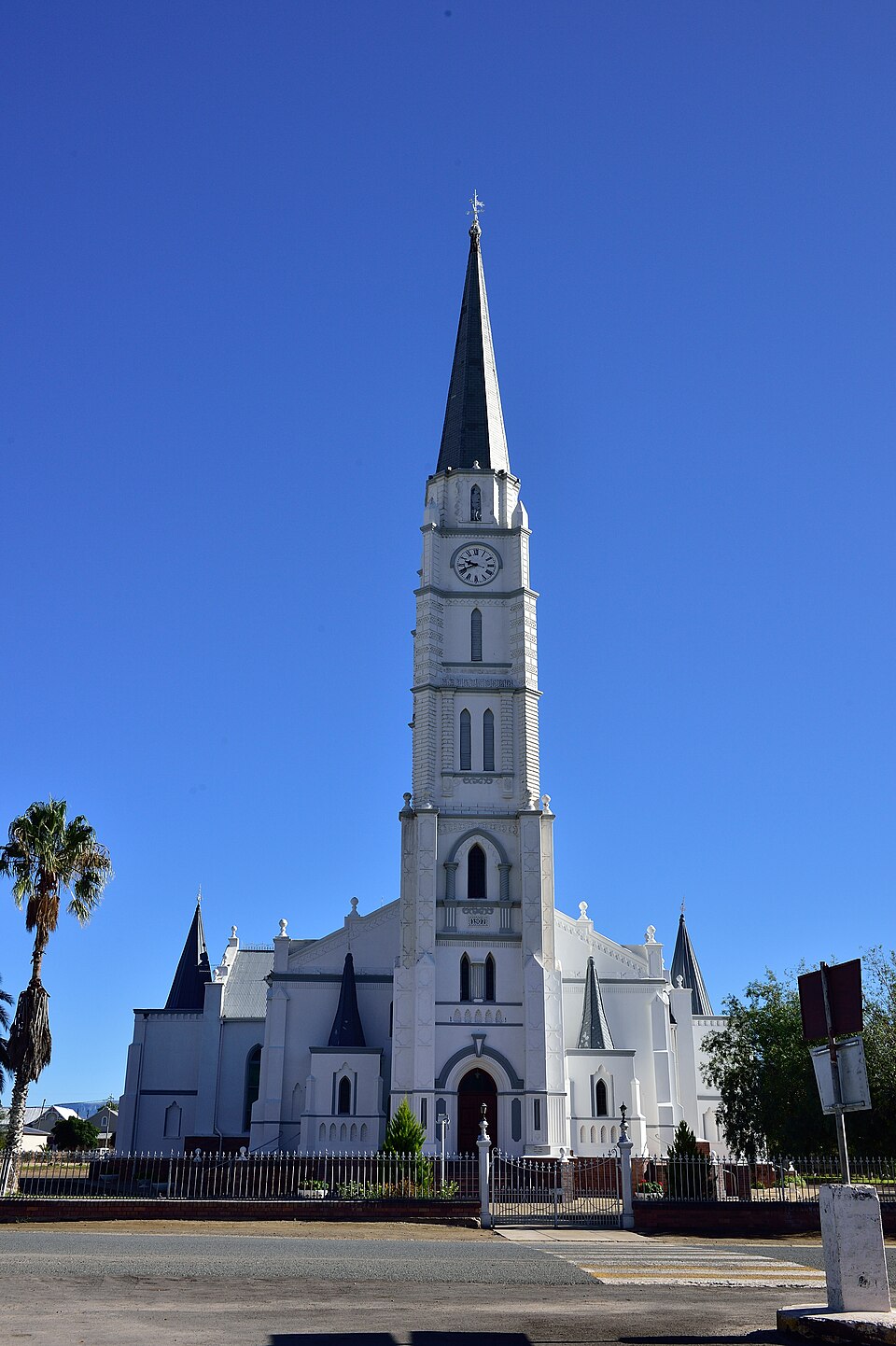 Eastern Cape
Ordered by unrounded Haversine distance from the Cradock reference coordinate (-32.1642° S, 25.6192° E) and displayed to the nearest integer kilometer.
Serves Gqeberha (Port Elizabeth) · Eastern Cape · ICAO FAPE
Serves East London · Eastern Cape · ICAO FAEL
Serves Mthatha · Eastern Cape · ICAO FAUT
Measured from Cradock’s reference coordinate, Chief Dawid Stuurman International Airport (PLZ) is 203 km away and King Phalo Airport (ELS) is 228 km away. Because the 25 km difference in straight-line distance from Cradock is modest compared with the full 200+ km inland drive, the more convenient arrival airport usually depends on flight schedules from your departure city and whether you prefer the direct N10 route north from Gqeberha or the inland R61/N6 route from East London.
The third airport in the passenger comparison—Bram Fischer International Airport (BFN) in Bloemfontein at 336 km north—sits in the central Free State and is only relevant if your journey combines the northern Karoo with the Free State along the N1/N10.
Our 36-airport directory also includes Cradock Airport (CDO) at 5 km from town (No regular flights listed) and Queenstown Airport (UTW) at 115 km east (No regular flights listed). Because neither airfield has scheduled passenger service in this dataset, they are listed separately below as non-comparison airfields.
Founded in the Inxuba Yethemba Karoo along the Great Fish River, Cradock is the main service town for visitors staying at SANParks’ Mountain Zebra National Park just west of town, as well as travellers exploring historic Tuishuise streetscapes and Karoo farmstays.
The N10 national highway runs directly through Cradock, linking the town south through Cookhouse and Paterson toward Gqeberha and Addo, or north toward Middelburg and Colesberg, while the R61 connects east to Tarkastad and Queenstown and west toward Graaff-Reinet.
These airfields are geographically close to Cradock, but are excluded from default commercial passenger comparisons because they either list no regular scheduled flights or require direct operator verification.
Distances on this page use one GeoNames reference point for Cradock, rather than a wider municipal boundary or your accommodation address.
Compare straight-line airport access for other South African towns and cities in our dataset.
Dataset snapshot: 2026-11-06 · GeoNames record modified: 2026-11-06 · Editorial review: 2026-11-06
Photo credit: Wikimedia Commons (CC BY 2.0) — Source file ↗