#1 CLOSEST OPTIONPTG
Polokwane International Airport
Serves Polokwane · Limpopo · ICAO FAPP
Straight-line distance
145 km
(144.8 km exact)
Passenger flights · check dates
Located in the eastern Soutpansberg valleys of the Vhembe district in northern Limpopo, Thohoyandou sits at a similar straight-line distance from two passenger airports: Polokwane International Airport (PTG) is 145 km from Thohoyandou and Eastgate Airport / Air Force Base Hoedspruit (HDS) is 168 km away—a difference of 23 km from the town reference point, with the two terminals positioned 172 km apart.
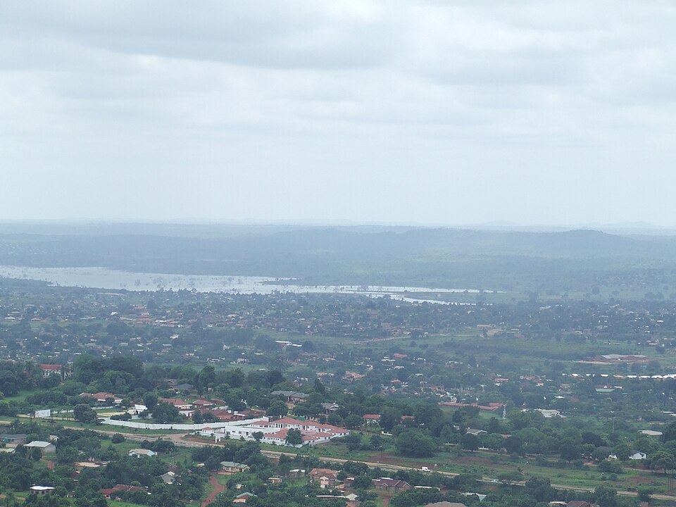 Limpopo
Ordered by unrounded Haversine distance from the Thohoyandou reference coordinate (-22.9456° S, 30.4850° E) and displayed to the nearest integer kilometer.
Serves Polokwane · Limpopo · ICAO FAPP
Serves Hoedspruit · Limpopo · ICAO FAHS
Serves Skukuza · Mpumalanga · ICAO FASZ
Measured from the Thohoyandou reference coordinate, Polokwane International Airport (PTG) is 145 km away and Eastgate Airport / Air Force Base Hoedspruit (HDS) is 168 km away (whereas the two airports sit 172 km from each other). Because a 23 km difference in distance from Thohoyandou is small relative to the onward drive, compare airline schedules, car-hire availability, and actual highway routes from both terminals before booking.
The third airport in the table, Skukuza Airport (SZK) at 251 km from Thohoyandou, sits in a much more distant catchment and is not as convenient as PTG or HDS for a direct transfer.
Thohoyandou is the administrative seat of the Vhembe District and Thulamela Municipality in the eastern Soutpansberg and Luvuvhu valley, near the University of Venda, Nandoni Dam, and Punda Maria Gate.
For the onward drive between PTG or HDS and Thohoyandou, travellers typically use the R524 west to the N1 toward Polokwane or south through Giyani toward the Lowveld. If your itinerary also covers nearby towns in the region, compare the airport distance profiles for Louis Trichardt, Musina, Tzaneen.
Distances on this page use one GeoNames reference point for Thohoyandou, rather than a wider municipal boundary or your accommodation address.
Compare straight-line airport access for other South African towns and cities in our dataset.
Dataset snapshot: 2026-11-06 · GeoNames record modified: 2026-11-06 · Editorial review: 2026-11-06
Photo credit: Wikimedia Commons (CC BY-SA 3.0) — Source file ↗