#1 CLOSEST OPTIONPTG
Polokwane International Airport
Serves Polokwane · Limpopo · ICAO FAPP
Straight-line distance
100 km
(100.0 km exact)
Passenger flights · check dates
Louis Trichardt lies at the southern foot of the Soutpansberg range along the N1 highway in northern Limpopo. For travellers arriving by commercial flight, Polokwane International Airport (PTG) is the nearest airport in our passenger selection at 100 km in a straight line from the town reference point.
 Limpopo
Ordered by unrounded Haversine distance from the Louis Trichardt reference coordinate (-23.0438° S, 29.9032° E) and displayed to the nearest integer kilometer.
Serves Polokwane · Limpopo · ICAO FAPP
Serves Hoedspruit · Limpopo · ICAO FAHS
Serves Skukuza · Mpumalanga · ICAO FASZ
In TownWing’s 18-airport passenger comparison, Polokwane International Airport (PTG) ranks #1 at 100 km by straight line from Louis Trichardt, making PTG the primary commercial terminal to check first when planning flights and ground transport.
The second and third airports in the comparison—Eastgate Airport / Air Force Base Hoedspruit (HDS) at 188 km and Skukuza Airport (SZK) at 273 km—sit 88 km or more farther from Louis Trichardt than PTG. They are relevant mainly if your trip starts or finishes in another region rather than as direct transfers for Louis Trichardt alone.
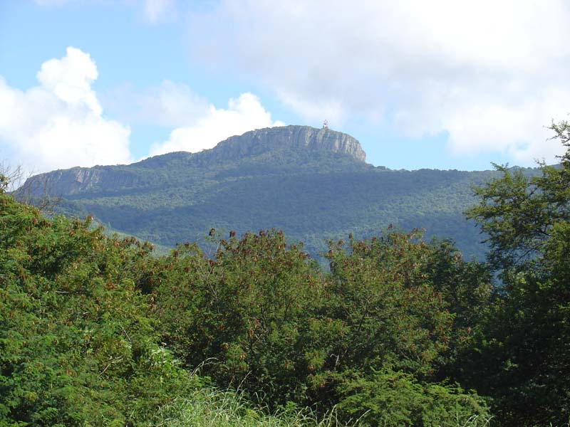
Louis Trichardt (Makhado) lies at the southern base of the wooded Soutpansberg mountains in the Vhembe district, serving as the main N1 stop between Polokwane, the Mapungubwe valley, and the Zimbabwe border.
For the onward drive between PTG and Louis Trichardt, travellers typically use the N1 Great North Road south to Polokwane or the R524 and R40 toward the Lowveld. If your itinerary also covers nearby towns in the region, compare the airport distance profiles for Thohoyandou, Musina, Tzaneen.
Distances on this page use one GeoNames reference point for Louis Trichardt, rather than a wider municipal boundary or your accommodation address.
Compare straight-line airport access for other South African towns and cities in our dataset.
Dataset snapshot: 2026-11-06 · GeoNames record modified: 2026-11-06 · Editorial review: 2026-11-06
Photo credit: Wikimedia Commons (CC BY-SA 3.0) — Source file ↗