#1 CLOSEST OPTIONPZB
Pietermaritzburg Airport
Serves Pietermaritzburg · KwaZulu-Natal · ICAO FAPM
Straight-line distance
135 km
(135.1 km exact)
Passenger flights · check dates
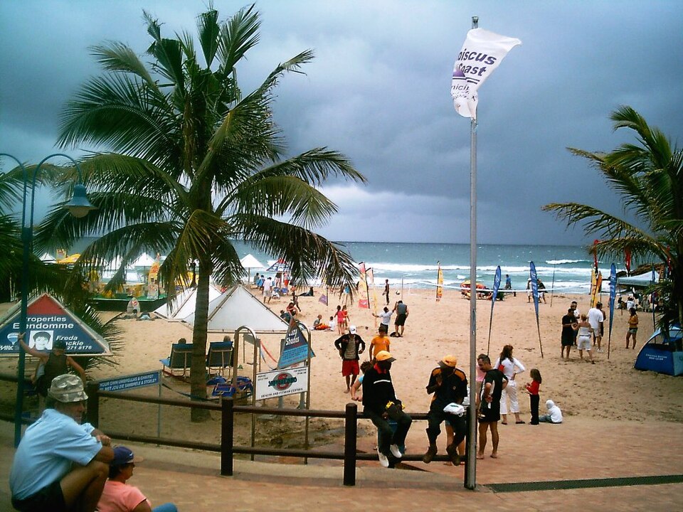
Located on the Hibiscus Coast south of Port Shepstone in southern KwaZulu-Natal, Margate sits at a similar straight-line distance from two passenger airports: Pietermaritzburg Airport (PZB) is 135 km from Margate and King Shaka International Airport (DUR) is 156 km away—a difference of 21 km from the town reference point, with the two terminals positioned 70 km apart.
 KwaZulu-Natal
Ordered by unrounded Haversine distance from the Margate reference coordinate (-30.8636° S, 30.3705° E) and displayed to the nearest integer kilometer.
Serves Pietermaritzburg · KwaZulu-Natal · ICAO FAPM
Serves Durban · KwaZulu-Natal · ICAO FALE
Serves Mthatha · Eastern Cape · ICAO FAUT
Measured from the Margate reference coordinate, Pietermaritzburg Airport (PZB) is 135 km away and King Shaka International Airport (DUR) is 156 km away (whereas the two airports sit 70 km from each other). Because a 21 km difference in distance from Margate is small relative to the onward drive, compare airline schedules, car-hire availability, and actual highway routes from both terminals before booking.
A third passenger option, K. D. Matanzima Airport (UTT) at 178 km from Margate, sits within a similar regional band if neither PZB nor DUR has a suitable flight on your date.
Our 36-airport directory also includes Margate Airport (MGH) at 3 km (Flights listed — check with airline). Because that airfield does not have confirmed regular passenger flights in this snapshot, it is listed separately below rather than ranked as standard airline options.
Margate is a coastal resort town on the Ray Nkonyeni and Hibiscus Coast stretch of southern KwaZulu-Natal, surrounded by Ramsgate, Uvongo, and Shelly Beach along the Indian Ocean.
For the onward drive between PZB or DUR and Margate, travellers typically use the N2 coastal highway north through Durban to King Shaka or inland via the N2/N3 to Pietermaritzburg. If your itinerary also covers nearby towns in the region, compare the airport distance profiles for Port Shepstone, Kokstad, Durban.
These airfields are geographically close to Margate, but are excluded from default commercial passenger comparisons because they either list no regular scheduled flights or require direct operator verification.
Distances on this page use one GeoNames reference point for Margate, rather than a wider municipal boundary or your accommodation address.
Compare straight-line airport access for other South African towns and cities in our dataset.
Dataset snapshot: 2026-11-06 · GeoNames record modified: 2026-11-06 · Editorial review: 2026-11-06
Photo credit: Wikimedia Commons (Public domain) — Source file ↗