#1 CLOSEST OPTIONDUR
King Shaka International Airport
Serves Durban · KwaZulu-Natal · ICAO FALE
Straight-line distance
28 km
(28.4 km exact)
Passenger flights · check dates
Durban stretches along the eThekwini Indian Ocean coastline and port bay in KwaZulu-Natal, and is served directly by King Shaka International Airport (DUR) at La Mercy, located 28 km north of the city’s central reference point by straight line.
 KwaZulu-Natal
Ordered by unrounded Haversine distance from the Durban reference coordinate (-29.8579° S, 31.0292° E) and displayed to the nearest integer kilometer.
Serves Durban · KwaZulu-Natal · ICAO FALE
Serves Pietermaritzburg · KwaZulu-Natal · ICAO FAPM
Serves Richards Bay · KwaZulu-Natal · ICAO FARB
King Shaka International Airport (DUR) is the primary commercial passenger gateway for Durban and the eThekwini metropolitan area, sitting 28 km north of the city reference coordinate. For almost all domestic and international arrivals into Durban, DUR is the main terminal to book.
The second airport in our passenger comparison—Pietermaritzburg Airport (PZB) at 64 km inland (36 km farther from central Durban than DUR)—serves the KwaZulu-Natal Midlands, while Richards Bay Airport (RCB) at 161 km northeast serves the Zululand coast.
Our 36-airport directory also includes Virginia Airport (VIR) just 10 km north of central Durban. Because Virginia Airport is a municipal general aviation airfield with no scheduled commercial passenger flights listed, it is excluded from the passenger comparison and shown separately below.
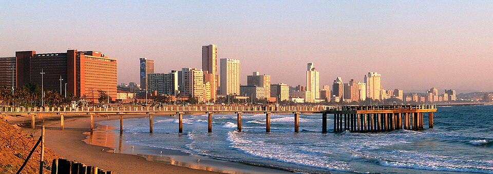
Durban is the coastal metropolis of eThekwini and home to South Africa’s busiest container port, stretching from the Golden Mile beachfront and Berea ridge north through Umhlanga and Ballito toward La Mercy.
For the onward drive between DUR or PZB and Durban, travellers typically use the N2 and M4 coastal routes north to La Mercy or the N3 inland toward the Midlands. If your itinerary also covers nearby towns in the region, compare the airport distance profiles for Pietermaritzburg, Port Shepstone, Margate.
Distances on this page use one GeoNames reference point for Durban, rather than a wider municipal boundary or your accommodation address.
Compare straight-line airport access for other South African towns and cities in our dataset.
Dataset snapshot: 2026-11-06 · GeoNames record modified: 2026-11-06 · Editorial review: 2026-11-06
Photo credit: Wikimedia Commons (CC BY 2.5) — Source file ↗