#1 CLOSEST OPTIONPZB
Pietermaritzburg Airport
Serves Pietermaritzburg · KwaZulu-Natal · ICAO FAPM
Straight-line distance
135 km
(135.4 km exact)
Passenger flights · check dates
Set in the Klip River valley east of the central Drakensberg in KwaZulu-Natal, Ladysmith has Pietermaritzburg Airport (PZB) at 135 km by straight line as the closest airport in our 18-airport passenger comparison—40 km closer to Ladysmith than the second-ranked option.
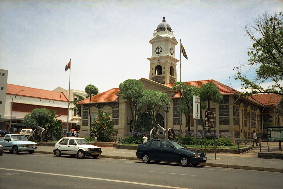 KwaZulu-Natal
Ordered by unrounded Haversine distance from the Ladysmith reference coordinate (-28.5587° S, 29.7790° E) and displayed to the nearest integer kilometer.
Serves Pietermaritzburg · KwaZulu-Natal · ICAO FAPM
Serves Durban · KwaZulu-Natal · ICAO FALE
Serves Richards Bay · KwaZulu-Natal · ICAO FARB
In TownWing’s 18-airport passenger comparison, Pietermaritzburg Airport (PZB) ranks #1 at 135 km by straight line from Ladysmith, making PZB the primary commercial terminal to check first when planning flights and ground transport.
The second-ranked passenger airport, King Shaka International Airport (DUR) at 175 km (40 km farther from Ladysmith than PZB), is worth checking if it offers a better flight schedule from your departure city, whereas Richards Bay Airport (RCB) at 227 km sits much farther away.
Ladysmith (uMnambithi) lies on the bends of the Klip River in the uThukela district, serving as a historic railway junction and gateway to the central and northern Drakensberg peaks and battlefields.
For the onward drive between PZB or DUR and Ladysmith, travellers typically use the N11 and N3 freeway corridor southeast through the Midlands toward Pietermaritzburg and Durban. If your itinerary also covers nearby towns in the region, compare the airport distance profiles for Newcastle, Pietermaritzburg, Bethlehem.
Distances on this page use one GeoNames reference point for Ladysmith, rather than a wider municipal boundary or your accommodation address.
Compare straight-line airport access for other South African towns and cities in our dataset.
Dataset snapshot: 2026-11-06 · GeoNames record modified: 2026-11-06 · Editorial review: 2026-11-06
Photo credit: Wikimedia Commons (CC BY 2.0) — Source file ↗