#1 CLOSEST OPTIONCPT
Cape Town International Airport
Serves Cape Town · Western Cape · ICAO FACT
Straight-line distance
120 km
(119.8 km exact)
Passenger flights · check dates
Set in the Breede River valley along Route 62 in the Cape Winelands of the Western Cape, Robertson has Cape Town International Airport (CPT) at 120 km by straight line as the closest airport in our 18-airport passenger comparison—111 km closer to Robertson than the second-ranked option.
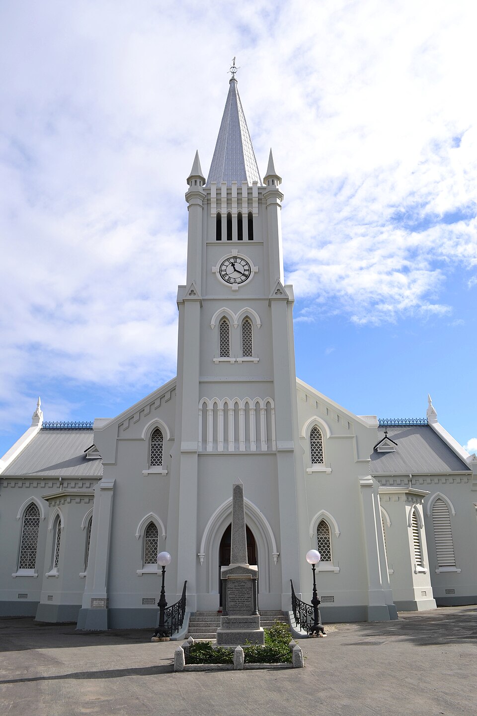 Western Cape
Ordered by unrounded Haversine distance from the Robertson reference coordinate (-33.8034° S, 19.8854° E) and displayed to the nearest integer kilometer.
Serves Cape Town · Western Cape · ICAO FACT
Serves George · Western Cape · ICAO FAGG
Serves Gqeberha (Port Elizabeth) · Eastern Cape · ICAO FAPE
In TownWing’s 18-airport passenger comparison, Cape Town International Airport (CPT) ranks #1 at 120 km by straight line from Robertson, making CPT the primary commercial terminal to check first when planning flights and ground transport.
The second and third airports in the comparison—George Airport (GRJ) at 231 km and Chief Dawid Stuurman International Airport (PLZ) at 529 km—sit 111 km or more farther from Robertson than CPT. They are relevant mainly if your trip starts or finishes in another region rather than as direct transfers for Robertson alone.
Our 36-airport directory also includes Robertson Airport (ROD) at 2 km (No regular flights listed) and Worcester Glider Airport (FAWC) at 46 km (No regular flights listed) and Hendrik Swellengrebel Airport (FASX) at 61 km (No regular flights listed). Because those airfields do not have confirmed regular passenger flights in this snapshot, they are listed separately below rather than ranked as standard airline options.
Robertson lies in the fertile Breede River valley beneath the Langeberg mountains, forming the heart of the Robertson Wine Valley between Worcester, Ashton, and McGregor.
For the onward drive between CPT and Robertson, travellers typically use the R60 northwest to Worcester and the N1 toward Cape Town International Airport (CPT). If your itinerary also covers nearby towns in the region, compare the airport distance profiles for Montagu, Worcester, Swellendam.
These airfields are geographically close to Robertson, but are excluded from default commercial passenger comparisons because they either list no regular scheduled flights or require direct operator verification.
Distances on this page use one GeoNames reference point for Robertson, rather than a wider municipal boundary or your accommodation address.
Compare straight-line airport access for other South African towns and cities in our dataset.
Dataset snapshot: 2026-11-06 · GeoNames record modified: 2026-11-06 · Editorial review: 2026-11-06
Photo credit: Wikimedia Commons (CC BY-SA 4.0) — Source file ↗