#1 CLOSEST OPTIONJNB
O.R. Tambo International Airport
Serves Johannesburg · Gauteng · ICAO FAOR
Straight-line distance
21 km
(21.4 km exact)
Passenger flights · check dates
Johannesburg is South Africa’s largest commercial air hub and one of the few destinations in this tool with two passenger airports within a short straight-line distance of the city reference point: O.R. Tambo International Airport at 21 km and Lanseria International Airport at 32 km.
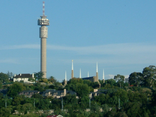 Gauteng
Ordered by unrounded Haversine distance from the Johannesburg reference coordinate (-26.2023° S, 28.0436° E) and displayed to the nearest integer kilometer.
Serves Johannesburg · Gauteng · ICAO FAOR
Serves Johannesburg · Gauteng · ICAO FALA
Serves Polokwane · Limpopo · ICAO FAPP
From the Johannesburg reference coordinate used on this page, O.R. Tambo International Airport (JNB) sits 21 km east in Kempton Park and Lanseria International Airport (HLA) sits 32 km northwest—a difference of 10 km (10.3 km unrounded) in distance from the city reference point, while the two airports themselves lie 39 km apart. Because the metropolitan area stretches across Sandton, Rosebank, Midrand, Randburg, the East Rand, and Soweto, the better airport for your trip depends on which airline serves your route and which side of Gauteng you are staying in.
The third airport in the passenger comparison—Polokwane International Airport (PTG) at 298 km north in Limpopo—is a separate northern provincial terminal rather than a practical local arrival option for a stay in Johannesburg.
Three closer general aviation airfields also appear in our Gauteng dataset: Rand Airport (QRA) at 12 km, Brakpan Airport (FABB) at 26 km, and Grand Central Airport (GCJ) at 26 km. All three are marked “No regular flights listed” and are excluded from the passenger airport ranking.
Booking websites sometimes group both JNB and HLA under “Johannesburg”. Always check the three-letter IATA code on your ticket before arranging a pickup, rental car, or Gautrain connection, as the two terminals sit 39 km apart on opposite sides of the metro.
JNB links directly into the R21, R24, and N3 freeway network and has a Gautrain station connecting to Sandton, Rosebank, Johannesburg Park Station, and Pretoria, whereas HLA connects by road along the R512 and N14 toward Randburg, Fourways, Pretoria, and Rustenburg.
These airfields are geographically close to Johannesburg, but are excluded from default commercial passenger comparisons because they either list no regular scheduled flights or require direct operator verification.
Distances on this page use one GeoNames reference point for Johannesburg, rather than a wider municipal boundary or your accommodation address.
Compare straight-line airport access for other South African towns and cities in our dataset.
Dataset snapshot: 2026-11-06 · GeoNames record modified: 2026-11-06 · Editorial review: 2026-11-06
Photo credit: Wikimedia Commons (CC BY-SA 2.0) — Source file ↗